

Geospatial insights for land and environment
Syntera Geospatial delivers spatial analysis, remote sensing, and mapping to support planning, assessment, and decision-making across land, environmental, and agricultural projects.
Our Services
-
![]()
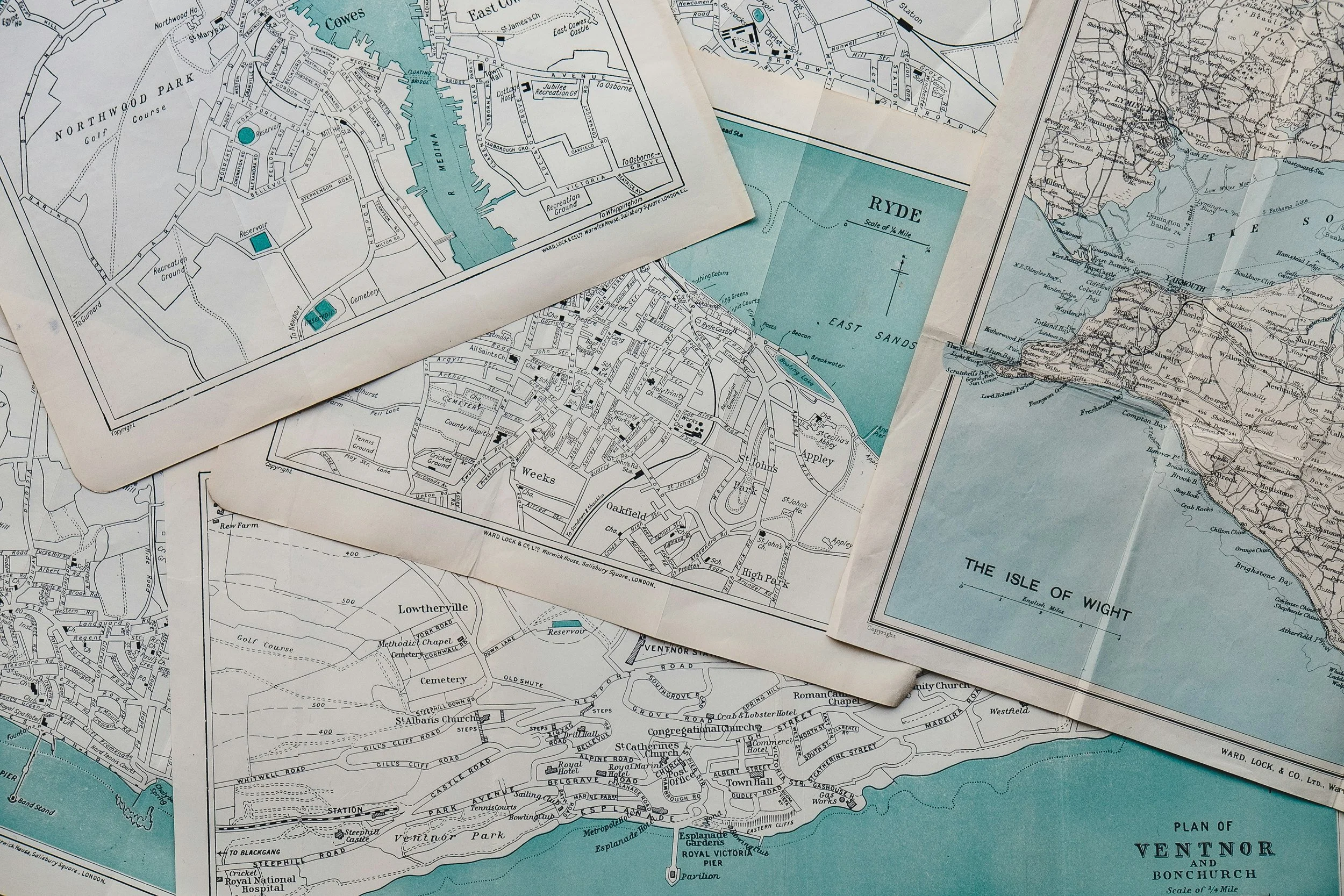
Mapping & Webmaps
-
![]()
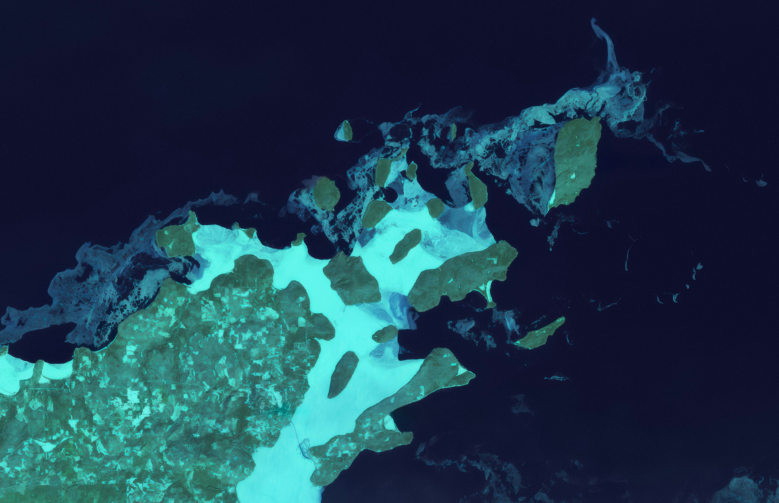
Remote Sensing & Earth Observation
-
![]()
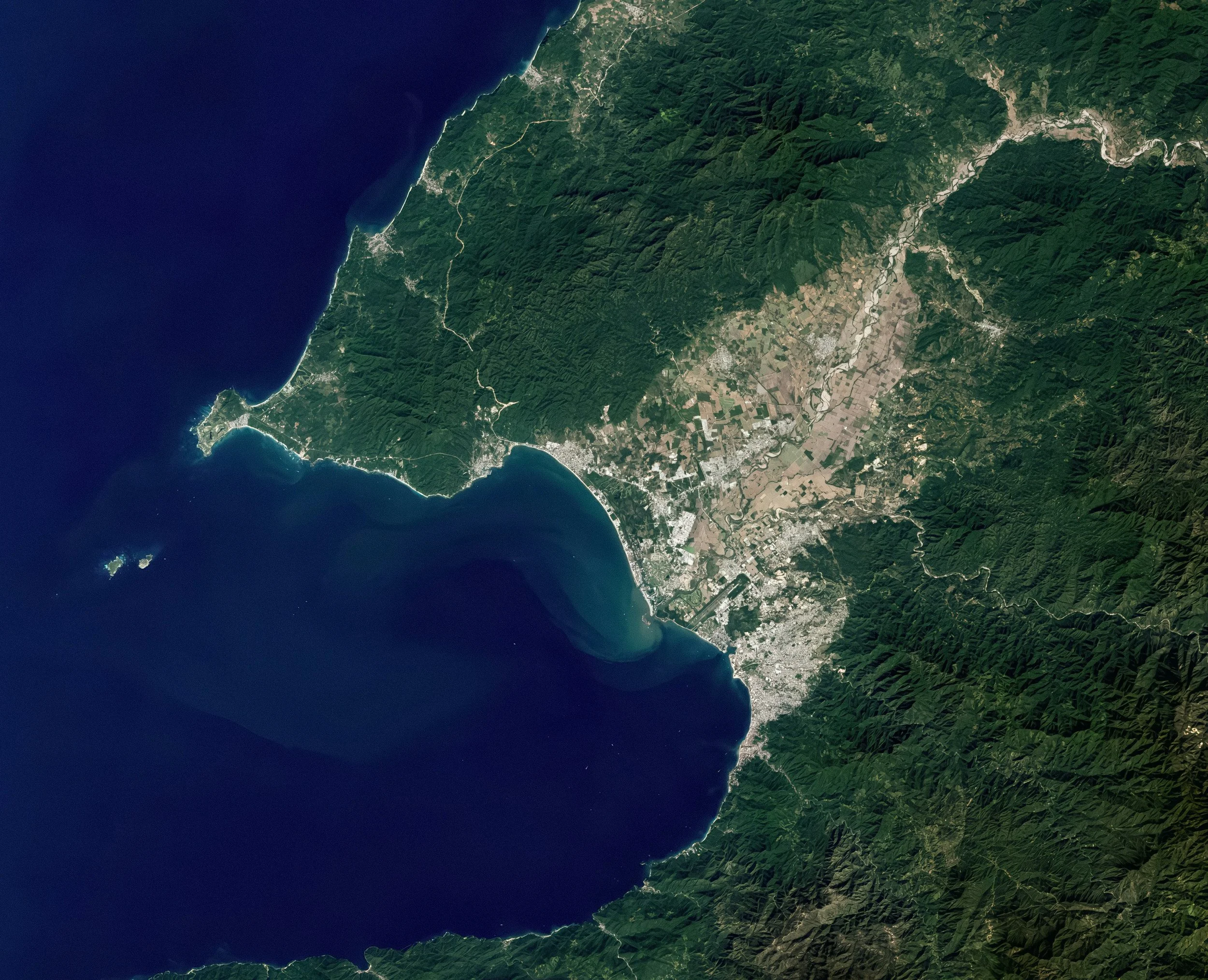
Spatial Analysis & Modelling
-
![]()
GIS Data Processing & Management
-
![]()
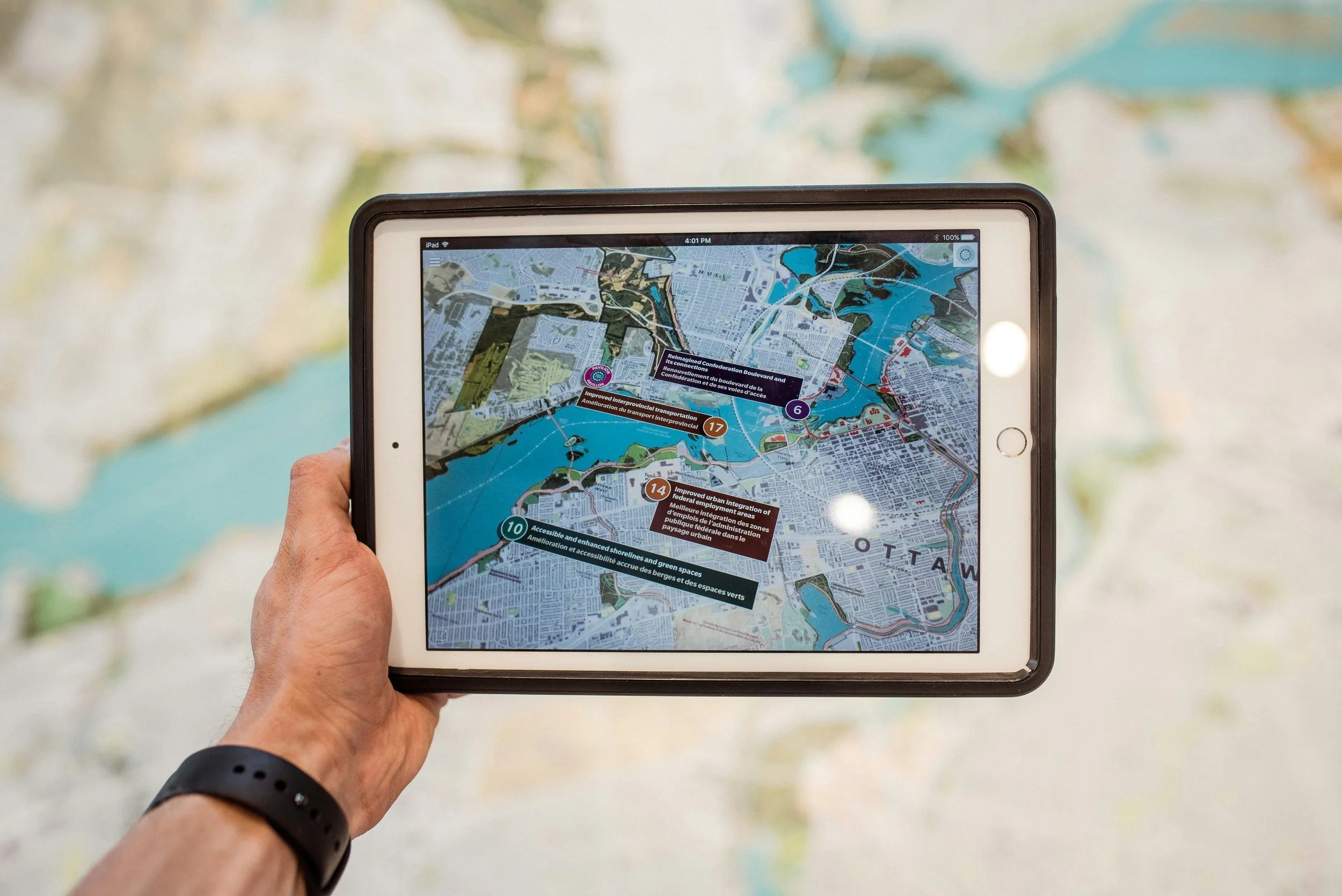
GIS Tools & Automation


About Us
Syntera Geospatial is a Perth-based geospatial consultancy focused on delivering high-quality spatial analysis, mapping, and data solutions.
We support projects across the land, environmental, and agriculture sectors, translating complex spatial data into clear, actionable insights.
We combine technical expertise with a practical, project-focused approach to ensure outputs are not only robust, but directly useful for decision-making.
Our approach:
Specialised expertise in land, environmental, and agricultural geospatial analysis
Tailored and innovative spatial solutions
Responsive and reliable project delivery
Efficient, cost-conscious approach