
Explore Our Services
What We Offer
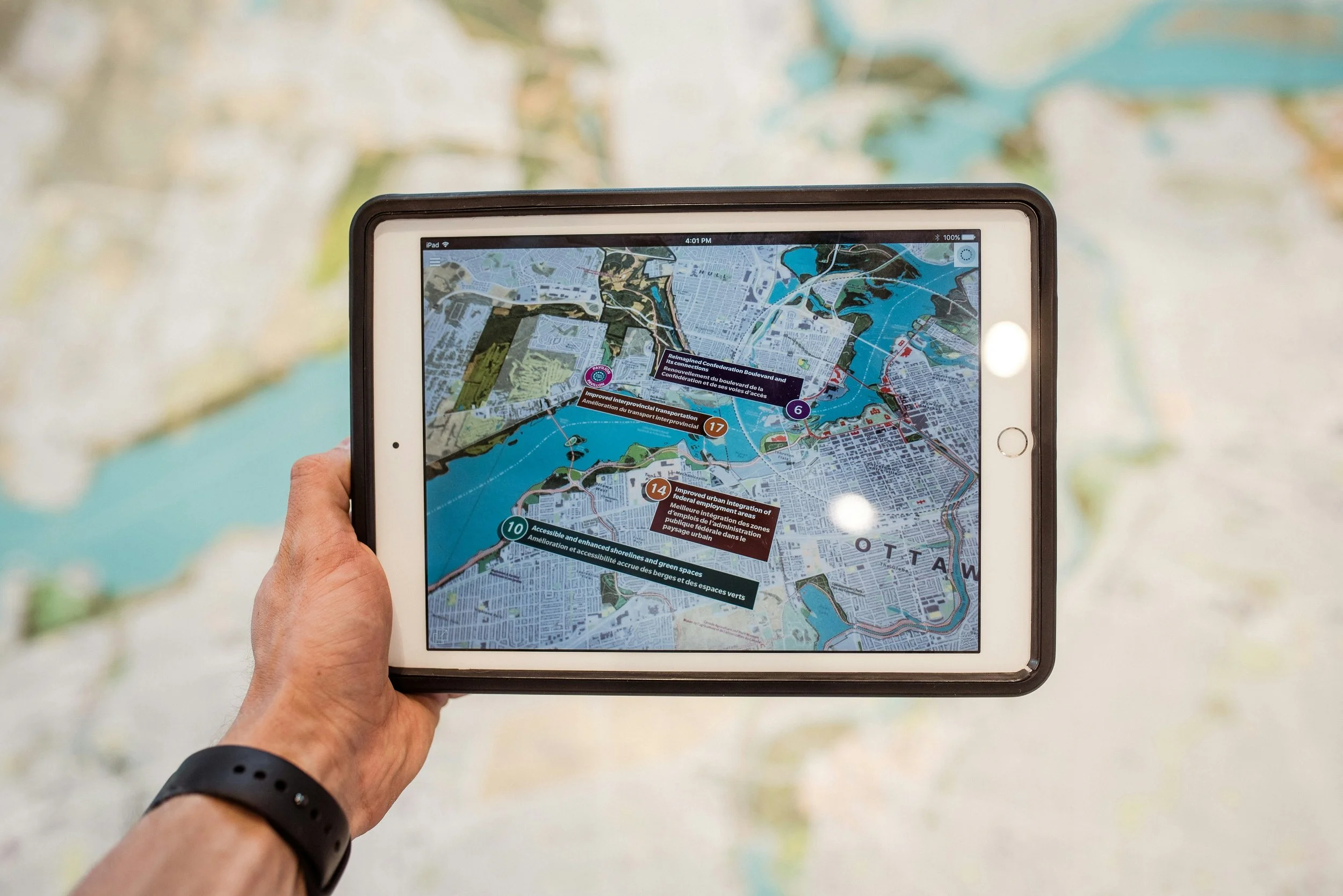
Mapping & Webmaps
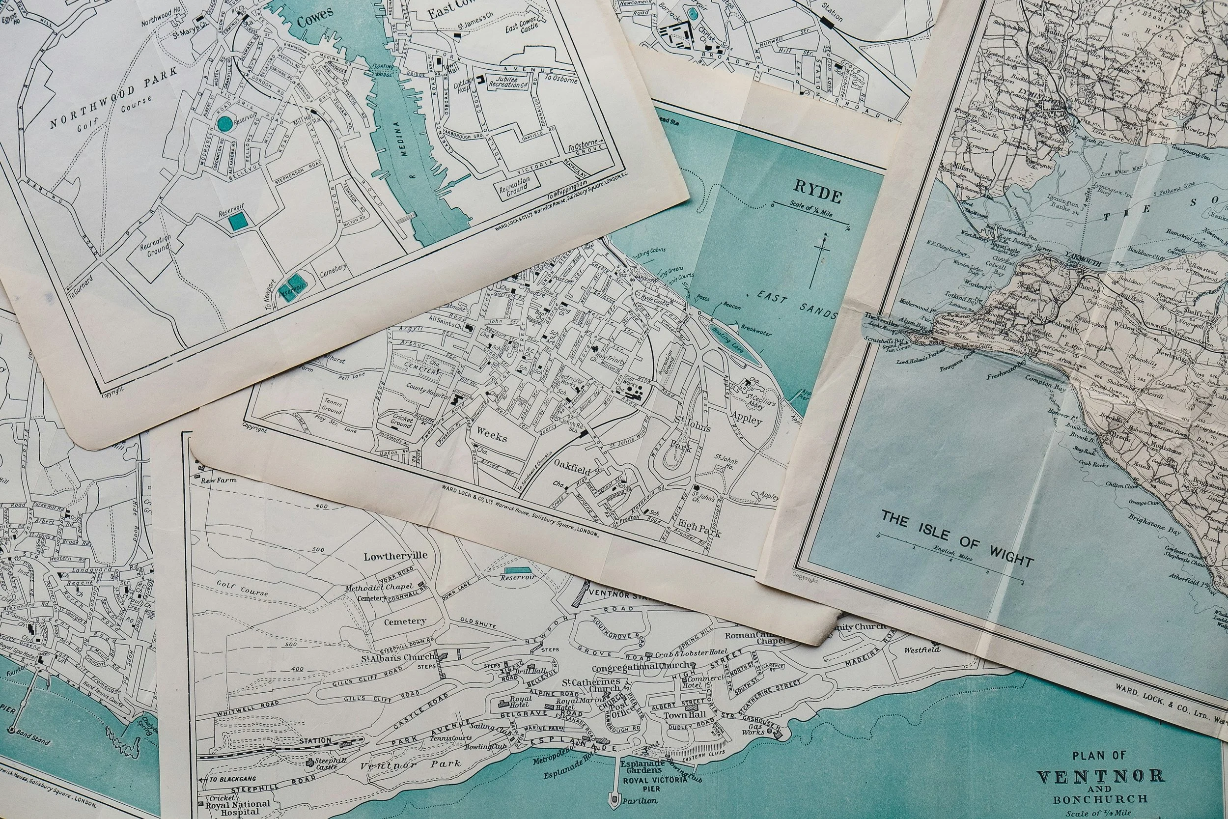
We create clear, professional maps and web-based visualisations to communicate spatial information effectively and support decision-making.
Our outputs are tailored to suit a range of uses, from technical reports to stakeholder engagement, ensuring that complex spatial data is presented in a way that is accessible and meaningful.
We develop both static maps and interactive webmaps or dashboards, enabling users to explore data, identify patterns, and gain insights at different scales.
Our services include, but not limited to:
Maps for reports and presentations
Interactive online webmaps and dashboards
Example applications of our work:
Producing publication-ready maps for reports, proposals, and presentations
Developing interactive webmaps to allow stakeholders to easily explore and overlay spatial datasets
Creating interactive online dashboards to allow stakeholders to track spatial metrics, such as number of hectare restored and conserved
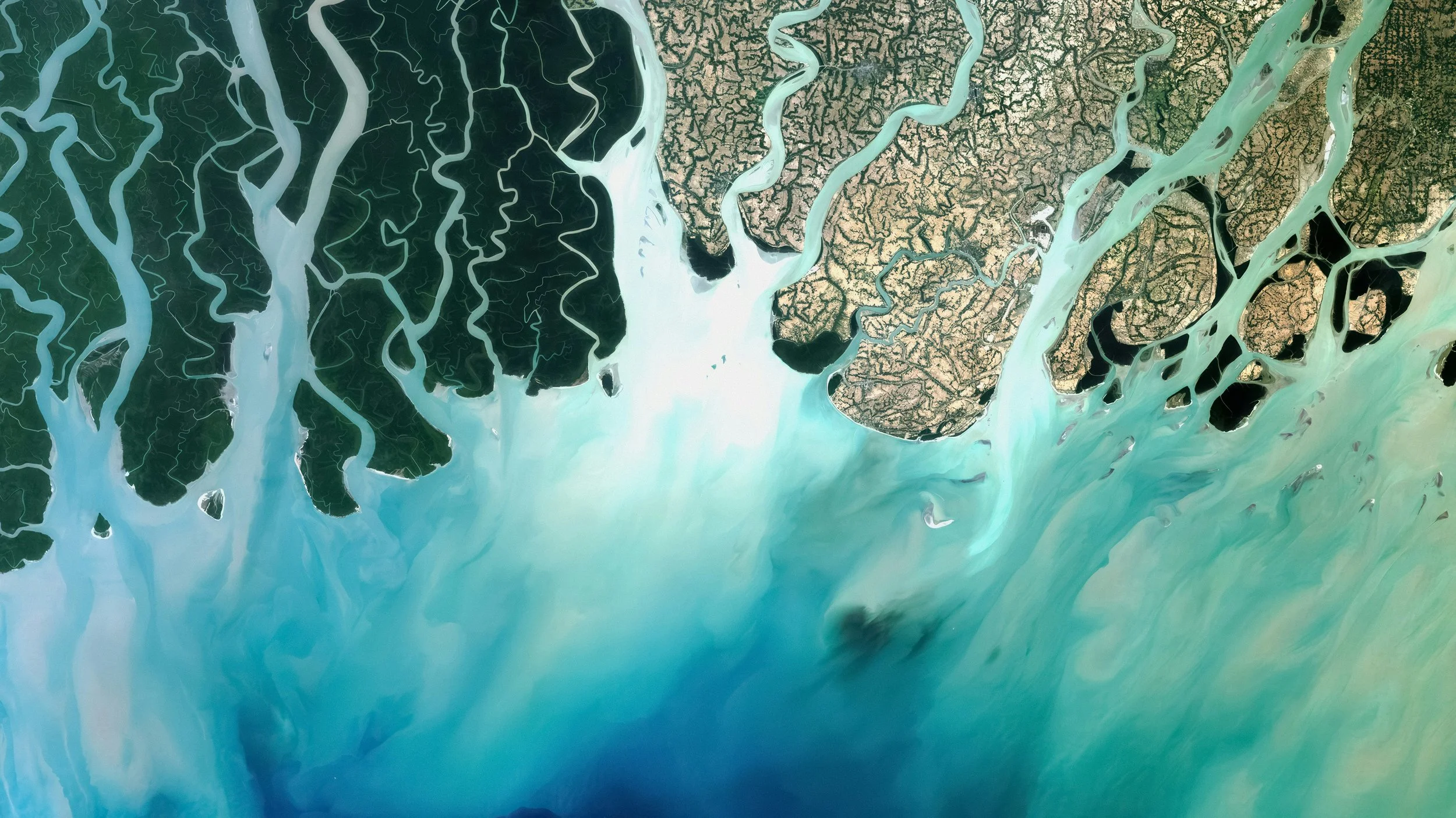
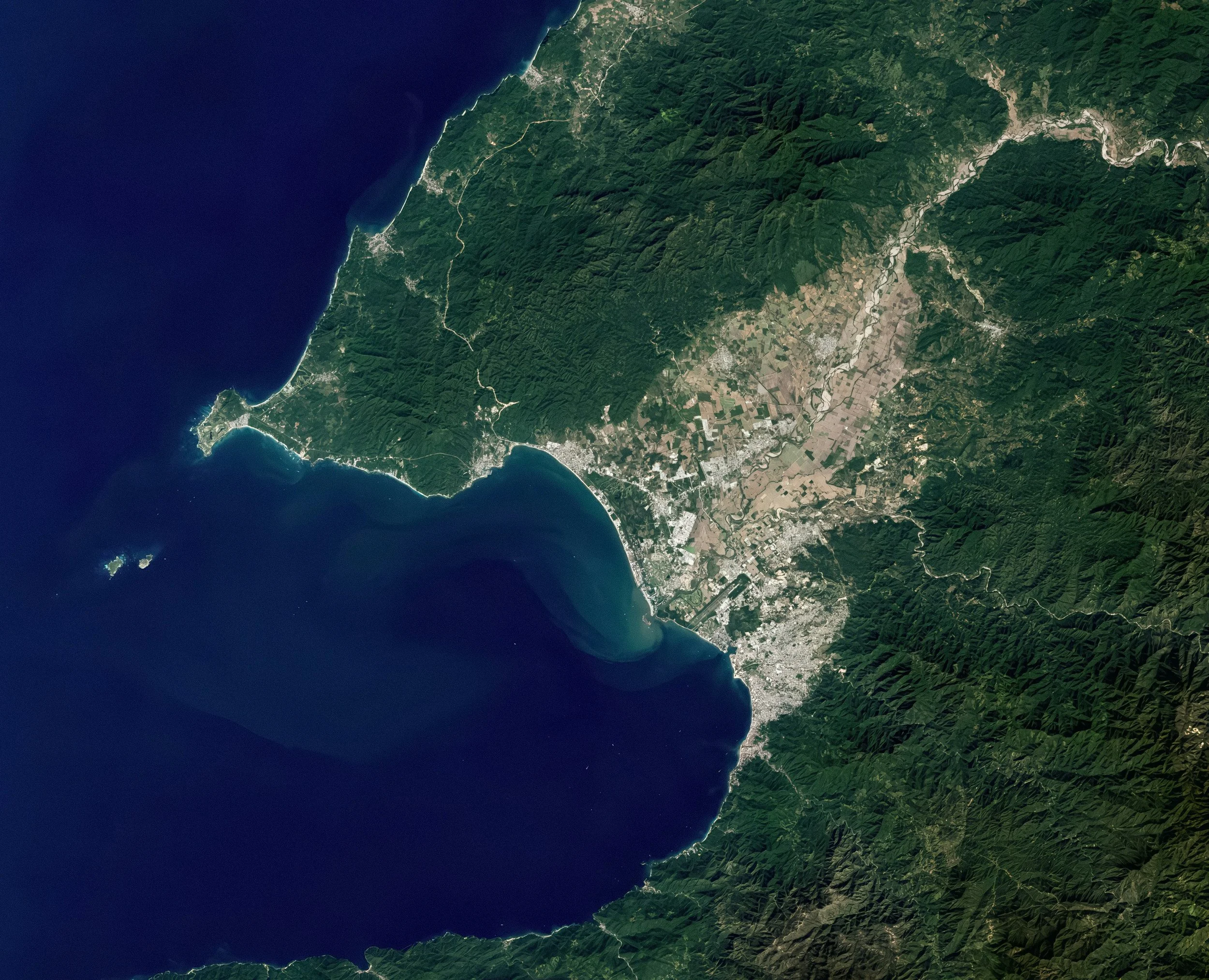
Remote Sensing & Earth Observation
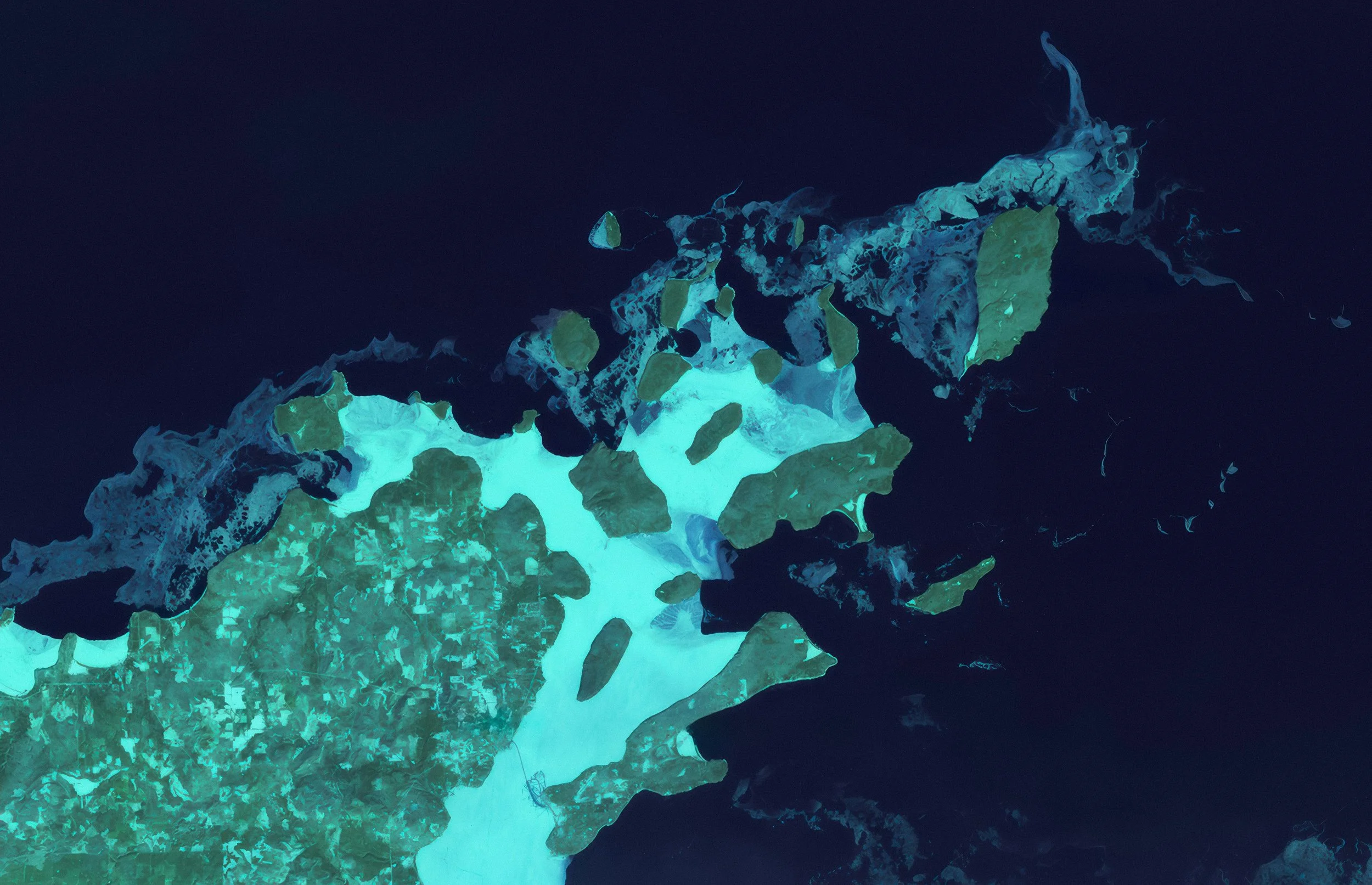
We apply remote sensing techniques to derive meaningful insights from satellite and aerial data, enabling efficient monitoring across large and often inaccessible areas.
Our analysis are designed to detect change over time and support environmental assessment, reporting, and planning.
We tailor approaches based on the purpose of the assessment, data availability, resolution requirements, and project scale.
Our services include, but not limited to:
Vegetation change analysis
Land use change assessment
Flood extent and impact mapping
Fire extent and severity analysis
Time series assessments for different purposes
Example applications of our work:
Monitoring vegetation change and land use change transitions over time
Mapping flood extent and impacted areas following extreme rainfall events
Assessing fire severity and burn extent using satellite imagery
Geospatial Analysis & Modelling
We provide spatial analysis and modelling to support informed decision-making across land, infrastructure, and environmental projects.
Our work combines robust analytical methods with practical project understanding, ensuring outputs are both technically sound and directly applicable.
From early-stage screening to detailed assessments, we tailor each analysis to align with project objectives and constraints.
Our services include, but not limited to:
Strategic site selection and prioritisation
Physical climate risk modelling and scenario analysis, including assessments at regional level and asset level
Species distribution and habitat modelling
Example applications of our work:
Identifying suitable sites for environmental restoration or conservation projects using multi-criteria analysis
Assessing climate-related risks to infrastructure, land parcels, or natural systems under different scenarios
Modelling habitat suitability and species distribution to support ecological planning and decision-making
GIS Data Processing & Management

We collect and process spatial data to ensure it is accurate, structured, and ready for analysis and integration into project workflows.
This includes collecting geospatial data, and transforming data from various formats into usable datasets.
Our focus is on improving data quality and usability, reducing time spent on preparation, and enabling more efficient downstream analysis.
Our services include, but not limited to:
Data digitisation (e.g. infrastructure, assets, environmental features)
Geocoding (address to spatial data)
Data conversion and georeferencing (maps, imagery, CAD files)
Example applications of our work:
Digitising spatial features such as roads, water points, or environmental assets from imagery or maps
Converting address datasets into spatial coordinates and boundaries for mapping and analysis
Georeferencing historical maps, CAD drawings, or scanned imagery for integration into GIS data.
GIS Tools & Automation
We develop custom GIS tools and workflows to streamline processes, improve efficiency, and ensure consistency across projects.
By automating repetitive tasks and building tailored solutions, we help teams work more effectively with spatial data.
Our tools are designed to integrate with existing systems and scale with project requirements.
Our services include, but not limited to:
Custom GIS model to automate workflow
Field data collection apps
Example applications of our work:
Building automated workflows to streamline repetitive GIS processing tasks
Developing field data collection applications for environmental or infrastructure surveys
Get In Touch
Interested in working together or learning more about what we do? Get in touch via the contact details below or submit an enquiry using the form.
Email: info@synterageospatial.com.au
Phone: +61 413 674 863